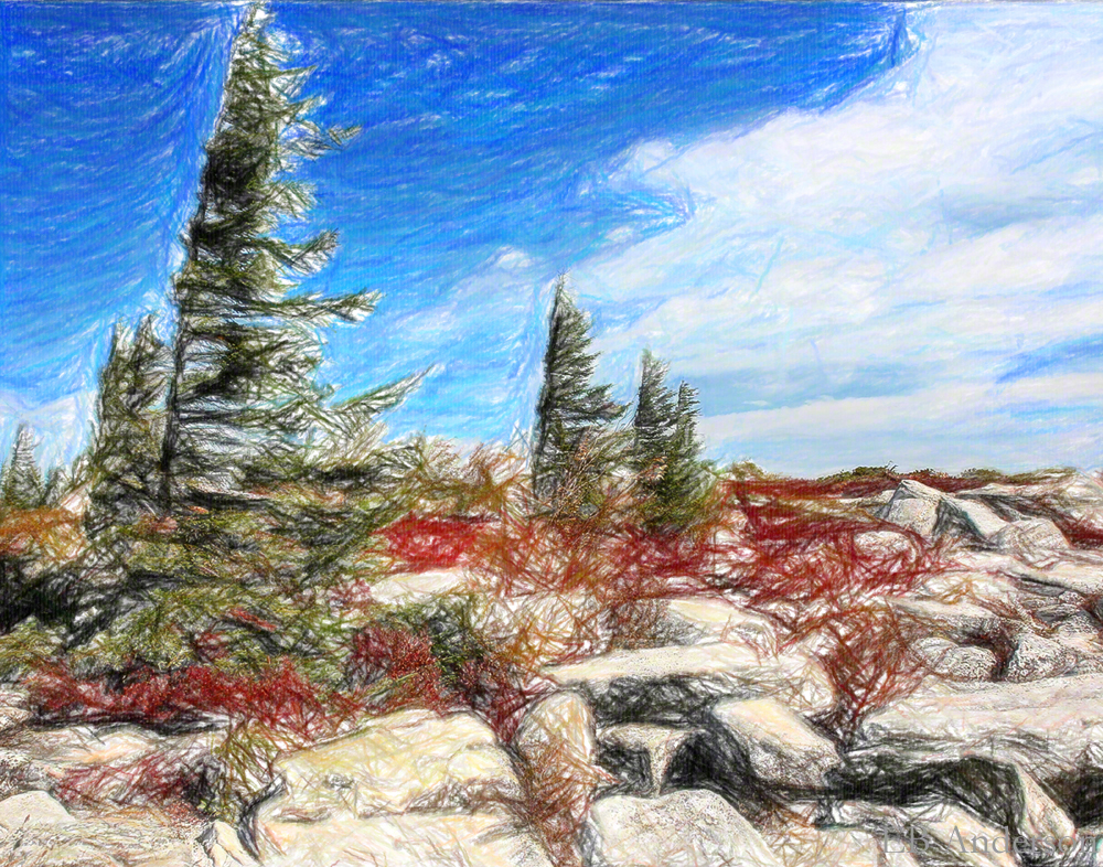
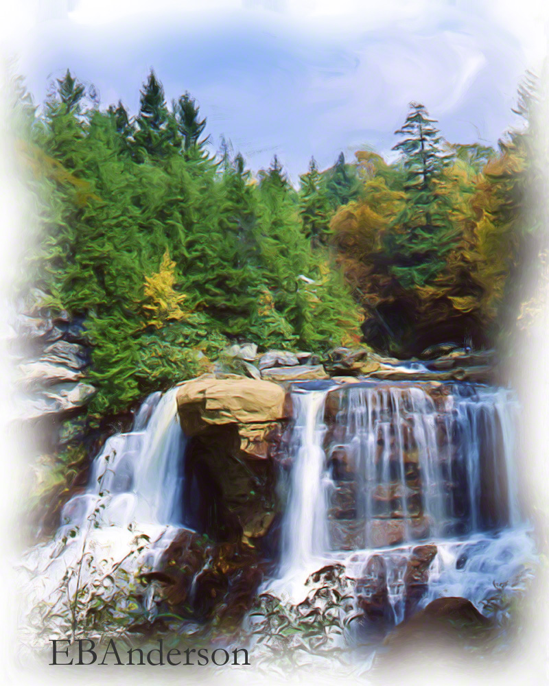
I just sold a copy of this print. Bear Rocks near Dolly Sods in the mountains of West Virginia is a favorite place.
The Wikipedia entry says this (in part):
Bear Rocks is a remarkably scenic, windswept summit atop one of West Virginia’s highest mountains. It is perched on a ridge of sandstone cliffs and is a rock outcropping on the Allegheny Front with a 2,000 to 3,000-foot (600 to 1,000 m) drop below that forms the Eastern Continental Divide. To the east, looking out over the South Branch of the Potomac River, which drains into theAtlantic Ocean via the Chesapeake Bay, there are breathtaking 35-mile (56 km) views where seven mountain ridges are visible on a clear day extending into Virginia. On the clearest days you can see Hawksbill Mountain and Stony Man, the highest peaks in Shenandoah National Park. To the west, water drains into Dolly Sods towards Red Creek, which eventually flows to the Gulf of Mexico via the Dry Fork River, Black Fork, Cheat, Mongahela, Ohio and Mississippi River.

